Important Information
- Please plan your journey carefully, and take into account time needed to return to your starting point.
- Make sure you take water and any other supplies you may need for your walk, and let someone know your plans.
- Walking times are based on the average walker travelling in good conditions. Please take into account weather conditions, seasonality, and walking ability when planning a walk.
- When walking along a beach section that continues inland, keep a look out for the trail markers. To avoid damage from the sea & high tides, the markers are positioned at the high tide mark.
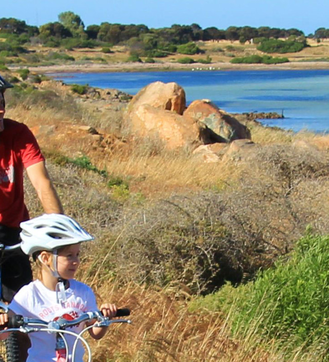
- In some sections, metal access stiles have been installed to prevent vehicles accessing the trail. They also protect the sensitive coastal environment from damage causing by vehicles. Walkers can easily step over these stiles, but cyclists will need to lift their bike over the stile to continue along the marked trail.
- Cyclists may find that some off-road sections of the trail can become soft at certain times of the year, mainly during summer and autumn. It may be easier for cyclists to walk their bikes along those sections, or can follow local unsealed roads before re-joining the marked trail.
- For cyclists, the marked trail may follow a sealed main highway for part of a section. Please take care and be aware of traffic including B-double trucks.
- Parts of the trail with gravel will compact more over time. If you find a section where the gravel has not settled, please lodge a service request to Yorke Peninsula Council.
- For those walking or cycling the Walk The Yorke trail, there are 19 designated bush camping grounds along the route and these are free to use for overnight accommodation for walkers & cyclists without a support vehicle (excluding those located with a national park). If travelling with a vehicle, a bush camping permit is required.
- Mobile coverage is not reliable in all sections of Walk The Yorke. On longer walks a Personal Locating Beacon (PLB) is recommended.
Trail Notes
Choose from one of the below 16 walks to explore Walk The Yorke...
- Port Wakefield – Port Clinton **please note - there are alternate routes starting from Port Wakefield due to a creek crossing being difficult to cross during wet weather. Please view the trail information for an alternate route for walkers & cyclists.
- Port Clinton - Ardrossan
- Ardrossan – Pine Point **please note - a small section of trail approximately 1.5km south of Rogues Point & 3.5km north of Pine Point is currently under maintenance and is an unformed trail. Please view the trail information for details of an alternate route through this section. **A deep sandy gully just north of James Well may provide difficulties for walkers and cyclists, with an alternate entry point via James Well Road. The remainder of the Ardrossan to Pine Point section remains accessible.
- Pine Point – Port Vincent
- Port Vincent - Stansbury
- Stansbury - Edithburgh
- Edithburgh – Port Moorowie
- Port Moorowie – Foul Bay
- Foul Bay – Marion Bay
- Marion Bay – Gleesons Landing
- Gleesons Landing – Corny Point
- Corny Point – Point Turton
- Point Turton – Port Rickaby
- Port Rickaby – Port Victoria
- Port Victoria - Balgowan
- Balgowan – Moonta Bay

